
Penguin poo gives clues from space
A pink "carpet" of penguin poo is allowing Australian researchers to track the birds by satellite.
")
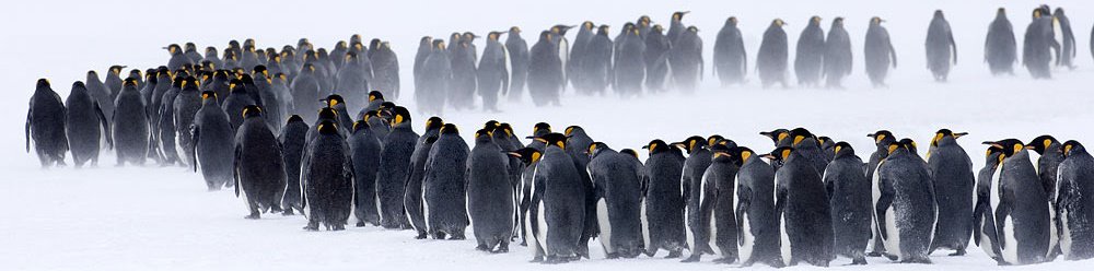
Adelie Penguins in Antarctica. Their poo can be seen from space, which scientists can study. (Photo: Todor Iolovski/AAD)
Although individual penguins can't be seen from space, the pink stains of their poo - coloured from the planktonic krill that they eat - are clearly visible.
"Because they congregate to breed in very dense populations it is like a [pink] carpet of poo - not just a bit here and a bit there," says biologist Colin Southwell from the Australian Antarctic Division (AAD) in Hobart.
Adélie penguins (Pygoscelis adeliae) are habitual, returning annually to the same rocks to breed. As a result, each year the poo - also called guano - builds up under a colony and remains visible for long periods of time. Colin says this makes it harder to spot guano from Adélie penguins, compared with other penguins whose breeding grounds are on the ice - like emperor penguins which breed on ever-changing sea ice.
'Quickbird' technology
The AAD team aim to survey a much larger area of Antarctica than they have already have, including those regions difficult to reach by foot. "If we can develop accurate habitat maps using satellite imagery of guano deposits, we could design truly large-scale surveys that could be applied consistently across very broad regions," says Colin.
Satellite imaging was used in 2009 by researchers from the British Antarctic Survey to discover new colonies of emperor penguins from their guano. The Australian researchers, however, are using the latest "QuickBird satellite" technology, which is capable of taking higher resolution images of a smaller area. It offers better quality pictures, which can precisely target penguin guano, the researchers say (see image below).
Satellite imaging is a cheaper alternative method to track penguin numbers, something previously done with the aid of helicopters. "Only so much field work can be done due to the hostility and remoteness of the region," says ecologist Iain Field from Macquarie University in Sydney. "It's one more tool we can use to gather information about the broader scale of the distribution of penguins."
The team hope to use the satellite images over a number of years to monitor the effects of climate change on the penguins.
LINKSAdélie penguins
Below: A satellite image of the "pink carpet" of Adélie penguin poo seen from space (credit: Australian Antarctic Data Centre/DigitalGlobe).


No comments:
Post a Comment